
Lake Louise, Crosswind Lake
The Tolsona, Lake Louise, Crosswind and Tyone Lake Community Wildfire Protection Planning Area covers from mile 182.5 to 161 on the Glenn Highway. The northern section of this planning area encompasses access to Crosswind Lake, Tolsona Lake and their communities as well as Lake Louise and its community including Tyone and Susitna Lake. The southern boarder follows the Tazlina River to Tazlina Lake where it connects with the Mendeltna Nelchina planning area.
Tolsona is located off the Glenn Highway with much of the community hooked up to modern amenities such as electrical and phone. However, Lake Louise Road cut off is 50 road miles west of Glennallen once you have reached the Lake Louise intersection you must travel an additional 16 miles to reach the community. Tyone and Susitna Lake are located to the North of the Lake Louise community. These communities are accessible by boat or float plane in the summer months and plane or snowmachine in the winter months. Crosswind Lake is located North of Tolsona lake and is accessible by float plane in the summer months and snowmachine or plane in the winter months. These communities do not have access to modern amenities such as power, telephone or running water, leaving these communities dependent upon generators and extremely long emergency response times.
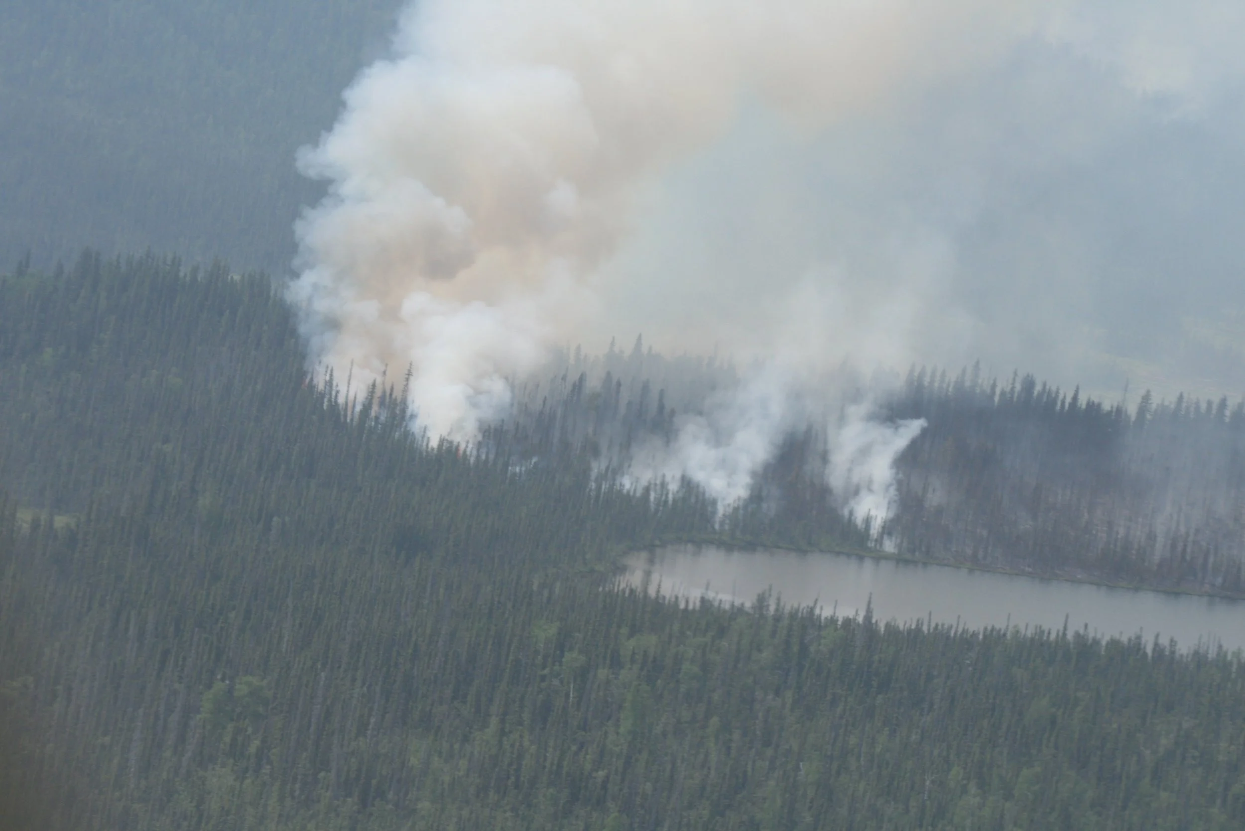
Both, Tolsona and Lake Louise, are inhabited by yearlong residents with an influx of tourists during the Spring, Summer, and Fall months. These communities are all remote with extensive response times. Spruce trees line these communities with dense fuel loading. This is a continuously forested land of spruce and mixed hardwood, areas impacted by beetle kill from an outbreak in the 1990’s, and a 1,400 plus acre fire scar from the Tabert Lake Fire in 2013. On the northern most side of this planning area a burn scar lies just outside the planning area from 2004; the Alphabet Hills Fire that burned 37,000 plus acres.
We are currently in the process of creating a CWPP for the Tolsona, Lake Louise, Crosswind and Tyone Lake planning area. It will be available here once it is published.


CWPP Planning Area Map
Community planning areas include the wildland urban interface (WUI), defined as the area where human development meets and intermingles with undeveloped wildland and vegetative fuels. Included are lands designated as “Critical” and “Full” fire management options. Fire management options are assigned by jurisdictional agencies (landowners/managers), while protection agencies provide fire suppression responsibilities and initial response to wildfires. Alaska Division of Forestry and Fire Protection is the protection agency responsible for fire suppression in the Copper River Basin. See https://forestry.alaska.gov/fire/fireplans for more information on fire management options.
The goal of creating a community wildfire protection plan is to reduce the potential for disaster within the planning boundary by recognizing the hazards, prioritizing areas of protection, and developing a workable action plan with clear goals and objectives to mitigate the risks from wildfire, life, and property.

Explore the CWPP Planning Map App. with useful planning layers including CWPP areas, fire management options, land ownership, vegetation layers, and fire return interval models.
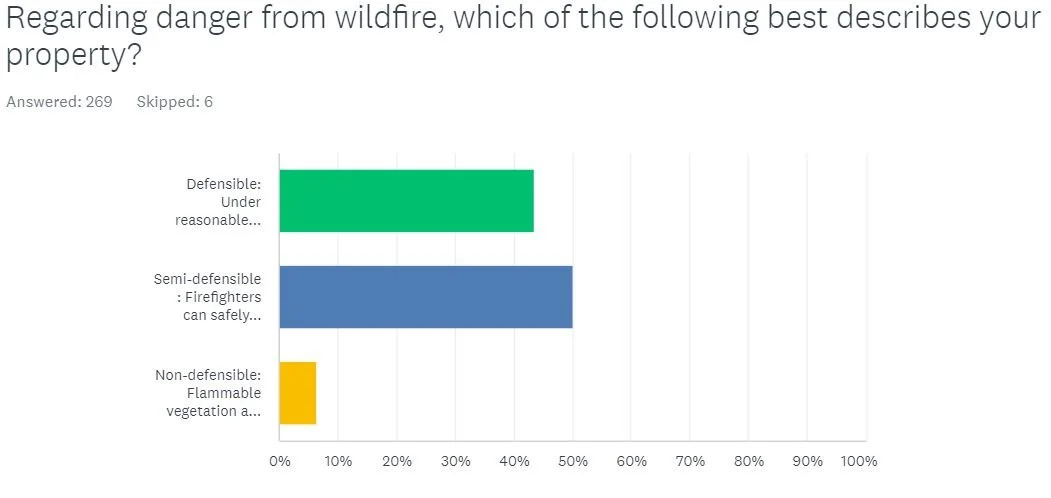
Community Wildfire Protection Plan Survey results:
Thank you for participating


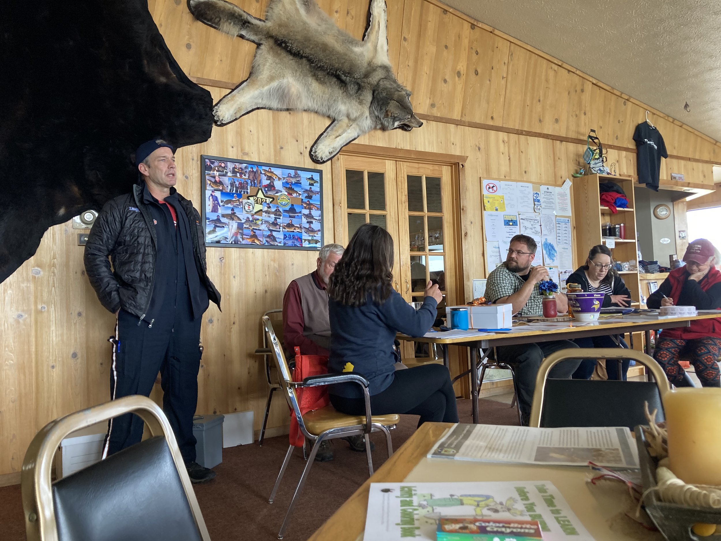
1st Lake Louise, Crosswind, Tyone and Tolsona Lake Meeting
Notes from past meetings
There are no past meetings’ notes yet.