
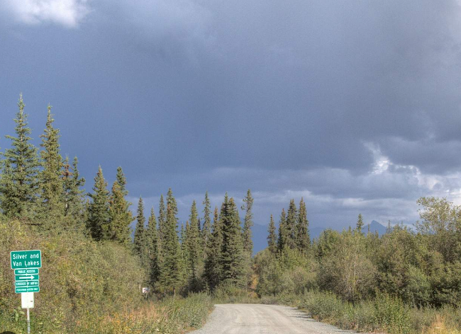
Strelna
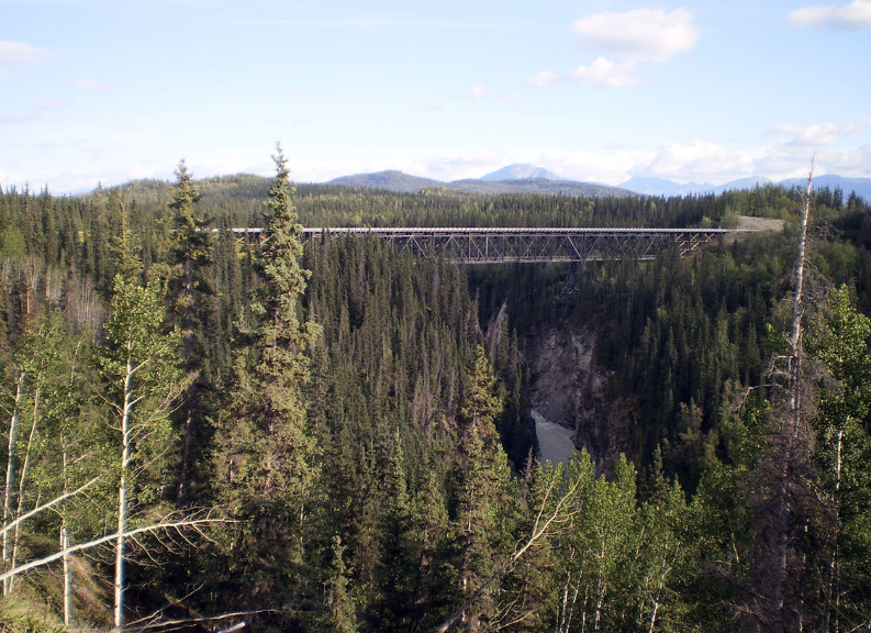
The Strelna Community Wildfire Protection Planning Area covers from mile 3 to 44 of the McCarthy Road, paralleling the north bank of the Chitina River, in between the Wrangell and Chugach mountains. The communities of Strelna and Chokosna are encompassed in this area, as well as other sparsely spaced full and part time residents who live along the road corridor. There is no utility electric service, and all residents live in an off-grid manner with minimal road maintenance in the winter. This planning area includes the Kuskalana, Chokosna, Lakina and Gilahina River drainages, as well as the Nugget Creek and Copper Town trails which provide access to the foothills of the Wrangell Mountains in Wrangell St. Elias National Park. Land ownership in this area includes private, state, BLM, national park and preserve land, village and tribal corporation lands, native allotments, and lands managed by the University of Alaska. This area holds a rich history deeply embedded with cultural and historic mining sites.
A high influx of tourists journey to this area during the summer months to enjoy outdoor recreation, fishing, and travel to Kennecott and McCarthy. Strelna, Silver and Vann Lakes are heavily used recreational sites which include yearlong residents, multiple summer homes and a bible camp. This planning area is continuously forested land of spruce and mixed hardwood, areas impacted by beetle kill from an outbreak in the 1990’s, and a 14,000 plus acre fire scar from the Lakina Fire in 1948. There are also areas of black spruce broken up by scattered lakes and marsh lands. Winds can be high along the Chitina River corridor and heavily impacted by the topography of the mountains to the north and south of this planning area.


CWPP Planning Area Map

Community planning areas include the wildland urban interface (WUI), defined as the area where human development meets and intermingles with undeveloped wildland and vegetative fuels. Community planning areas also incorporate the surrounding designated full fire management option boundary. A fire management option is a classification assigned by the jurisdictional agency that provides fire protection and determines the initial response to a wildfire. Alaska Division of Forestry and Fire Protection is the jurisdictional agency responsible for fire suppression in the Copper River Basin. Any wildland fire which starts within the full fire management option boundary surrounding Strelna may threaten the residents and critical infrastructure in this planning area, and therefore, requires full suppression efforts. See https://forestry.alaska.gov/fire/fireplans for more information on fire management options.
The goal of creating a community wildfire protection plan is to reduce the potential for disaster within the planning boundary by recognizing the hazards, prioritizing areas of protection, and developing a workable action plan with clear goals and objectives to mitigate the risks from wildfire to life and property.
Explore the CWPP Planning Map App. with useful planning layers including CWPP areas, fire management options, land ownership, vegetation layers, and fire return interval models.
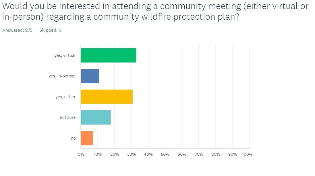
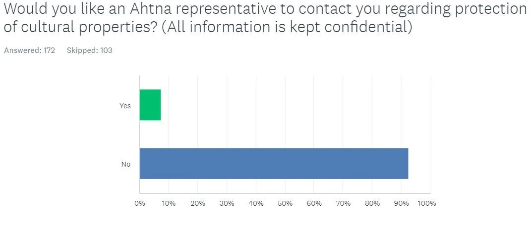
Community Wildfire Protection Plan Survey results:
Thank you for participating


Notes from past meetings
The First meeting for the Sterna area was combined with 2022 Spring VFD meeting and was not recorded. Please reach out to Emily Hjortstorp at 907-822-5534 if you have questions regarding this meeting.